
To Corsica with the Glide
Travel diary of a test drive: 1,943 kilometres with a Tesla Model Y and the Glide prototype – over the Brenner Pass, through the heat of the Po Valley and along the mountain roads of Corsica.
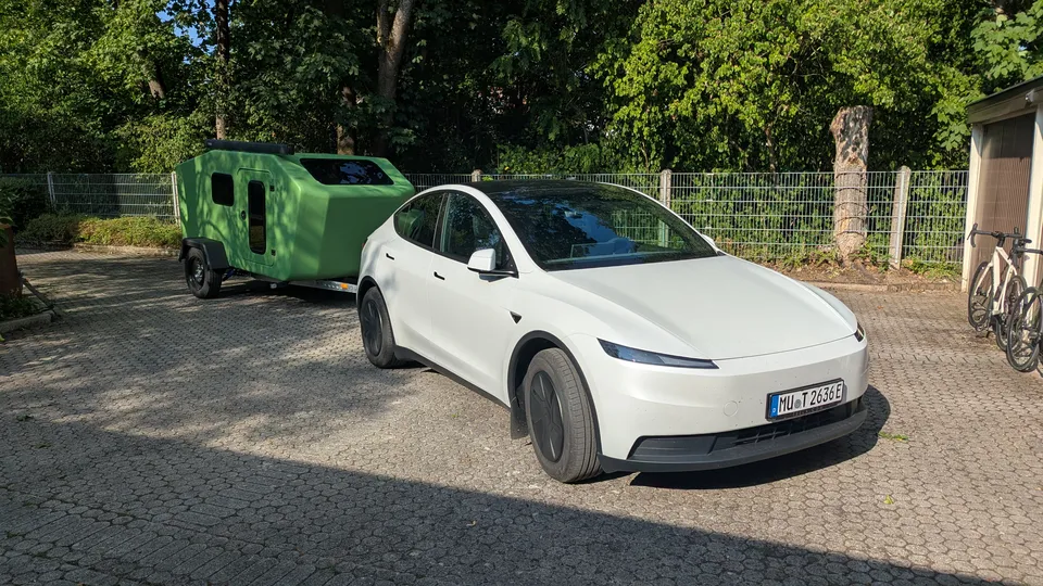
In August 2026 we took the Glide prototype on its longest trip so far: 13 days, two ferry crossings, four campsites. It was towed by our Tesla Model Y Standard with a 60 kWh battery.
Here is our travel diary, with the trip computer’s consumption figures for every stage, the elevation profiles of the routes and the weather on each day.
The route
Outbound and return followed the same corridor: Brenner Pass, Adige valley, Po Valley, Apennines and Livorno. From there we took the ferry to Bastia and drove on to three campsites in the north of Corsica.
Over the Brenner Pass to Lake Garda
Munich → Brenner Pass
We set off in the late morning. Once on the motorway we set the cruise control to 100 and simply let the rig roll. Along the Inn valley motorway the road climbs steadily until we reach the Brenner Pass at a good 1,360 metres, around 800 metres above our start. At the first Supercharger the trip computer shows 212.6 Wh/km. For a climb with a trailer, that is a figure we are very happy with.
- Distance
- 198.0 km
- Consumption
- 212.6 Wh/km
- Energy
- 42.1 kWh
- Driving time
- 2:25 h
- On the road
- 11:37–14:02
- Charging
- 35 min at the Brenner
- Elevation
- ↑ 1,090 m · ↓ 290 m
- Weather
- avg. 20 °C · max. 28 °C
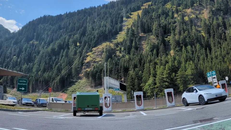
First charging stop at the Brenner Pass
Brenner Pass → Lake Garda
From the Brenner Pass we descend almost 1,200 metres through the Isarco and Adige valleys. Regenerative braking recovers a good part of the energy from the climb, even though the thermometer reaches 37 degrees in the afternoon. Result: 190.2 Wh/km.
- Distance
- 211.5 km
- Consumption
- 190.2 Wh/km
- Energy
- 40.2 kWh
- Driving time
- 2:48 h
- On the road
- 14:37–17:25
- Charging
- 40 min in Affi (next morning)
- Elevation
- ↑ 120 m · ↓ 1,290 m
- Weather
- avg. 28 °C · max. 38 °C
We spend our first night at Agricampeggio Le Corniole above Lake Garda. Tailgate up, kitchen out, dinner in the last of the sun.
The day at a glance
- Departure from Munich
- Brenner: 35 minutes charging, a quick lunch
- On towards the south
- Arrival at Agricampeggio Le Corniole
409.5 km · driving 5:13 h · charging 35 min
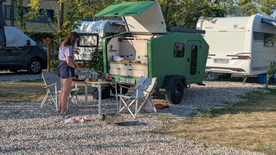
Through the heat to the sea
We get up early and leave the campsite before sunrise. At the Supercharger in Affi we charge while the sun comes up and treat ourselves to a good coffee first. Around half past six we roll out.
Lake Garda → Barberino di Mugello
Across the Po Valley and over the Apennines we head to the Supercharger at the Barberino Designer Outlet. It turns into the hottest day of the trip, with up to 38 degrees in Bologna. Even so, the display shows 184.6 Wh/km at the end: what the Apennines cost on the way up, they largely give back on the way down.
- Distance
- 236.6 km
- Consumption
- 184.6 Wh/km
- Energy
- 43.7 kWh
- Driving time
- 2:43 h
- On the road
- 06:35–09:18
- Charging
- 30 min in Barberino
- Elevation
- ↑ 640 m · ↓ 560 m
- Weather
- avg. 31 °C · max. 38 °C
Barberino → Livorno
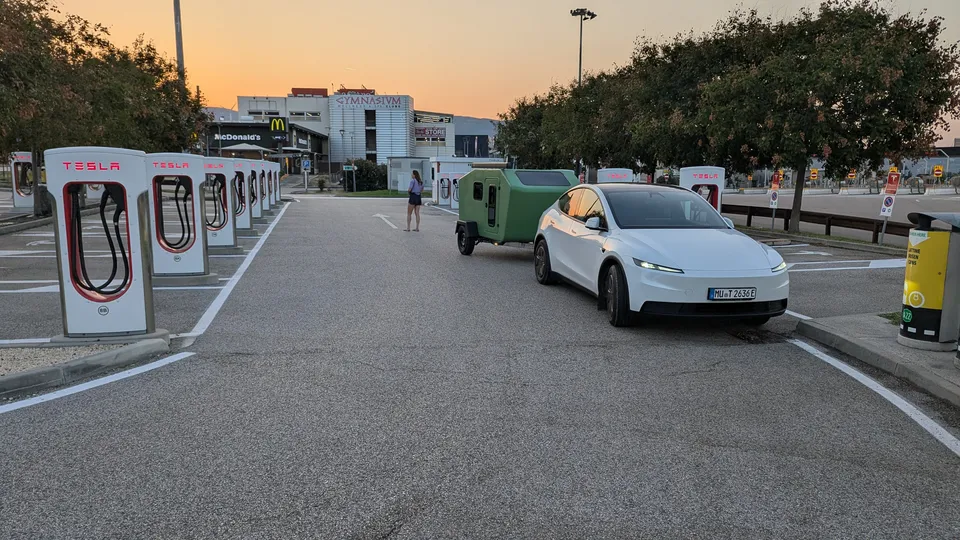
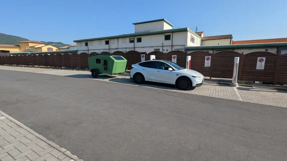
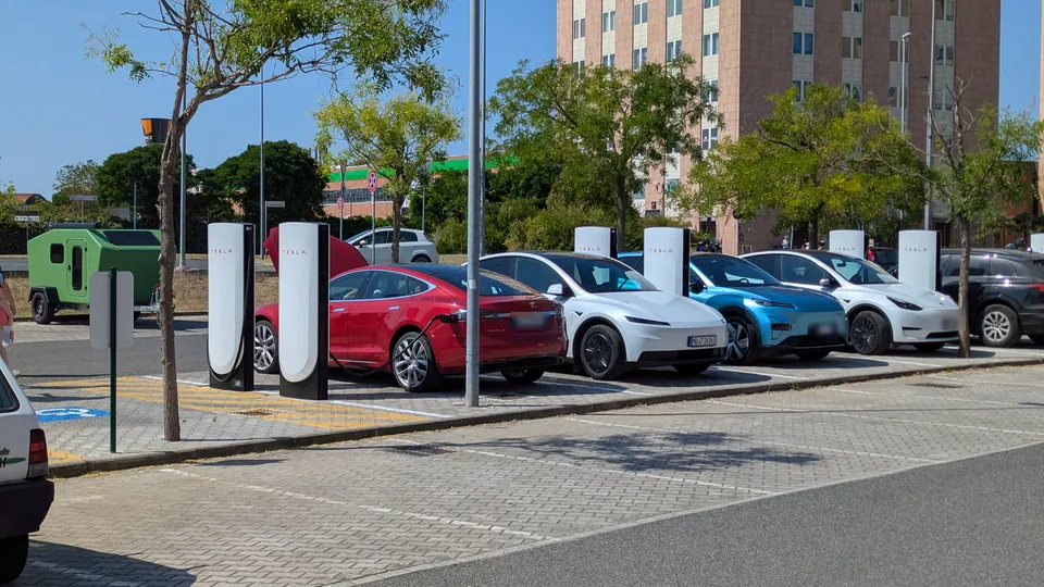
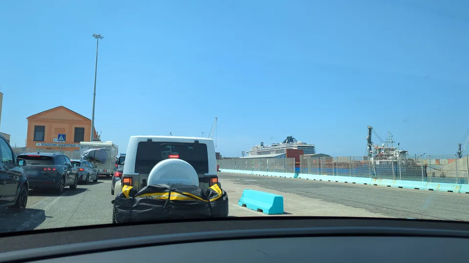
The stage to the coast is mostly downhill, yet the trip computer shows 217.3 Wh/km. The reason is the end of the stage: first city traffic in Livorno, then the long wait and boarding at the ferry port. At 37 degrees the air conditioning runs the whole time, so energy flows while hardly any kilometres are added. Before that, we charge up once more at the Supercharger by the shopping centre.
- Distance
- 126.2 km
- Consumption
- 217.3 Wh/km
- Energy
- 27.4 kWh
- Driving time
- 1:47 h
- On the road
- 09:48–12:15
- Charging
- 40 min in Livorno
- Elevation
- ↑ 150 m · ↓ 420 m
- Weather
- avg. 29 °C · max. 37 °C
The day at a glance
- Leaving the campsite
- Affi: 40 minutes charging at sunrise, coffee
- Departure from Affi
- Barberino: 30 minutes charging, cappuccino
- On over the Apennines
- Livorno: 40 minutes charging, lunch
- Ferry port: check-in, waiting and boarding
- Ferry departs
- Arrival in Bastia
- Check-in at Camping San Damiano
362.8 km · driving 4:30 h · charging 1:50 h · ferry 4 h
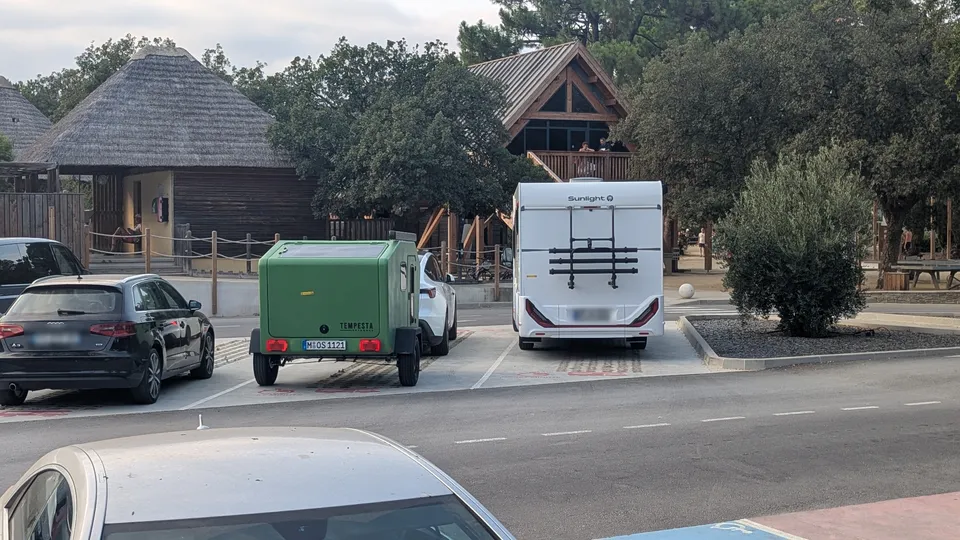
In the evening we roll off the ferry in Bastia and check in at Camping San Damiano, between the sea and the Biguglia lagoon.
Settling in
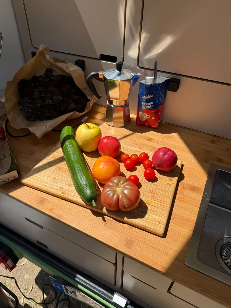
We spend the first days on the east coast. Market, moka pot and salad from the rear kitchen: this is exactly the kind of day we built the Glide’s kitchen for. Meanwhile the car sits on the campsite’s power and charges at its own pace.

Up to Monte Cinto
San Damiano → Monte Cinto
The most demanding stage of the trip: from sea level up into the Asco valley, more than 1,000 metres of climbing on narrow mountain roads. 271.5 Wh/km is the highest figure of the trip and exactly what physics predicts: lifting around 2.5 tonnes of car and trailer by 1,000 metres alone takes about 7 kWh.
- Distance
- 96.6 km
- Consumption
- 271.5 Wh/km
- Energy
- 26.2 kWh
- Driving time
- 2:20 h
- On the road
- 10:00–12:50
- Charging
- at the campsite
- Elevation
- ↑ 1,050 m · ↓ 30 m
- Weather
- avg. 26 °C · max. 32 °C
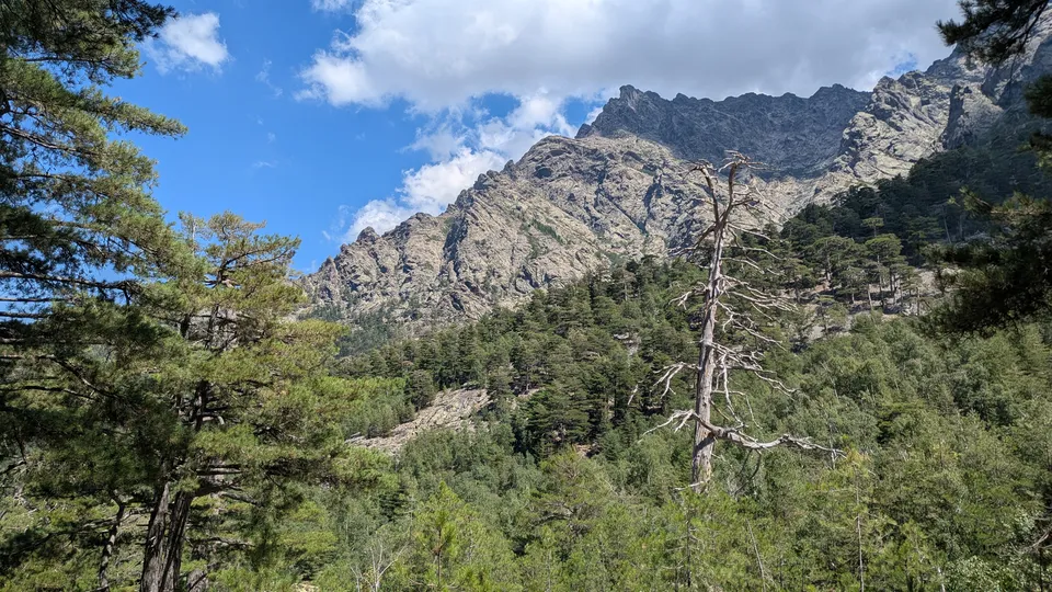
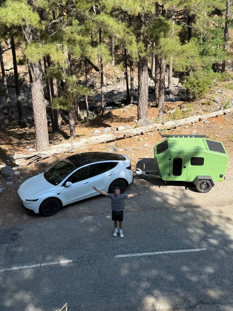
This is what the road into the Asco valley looks like: narrow, winding, and right next to the tarmac the slope drops steeply into the gorge. With the Glide in tow, we take our time here.
The day at a glance
- Departure from San Damiano
- Ponte Leccia: shopping, 30-minute break
- Up into the Asco valley
- Arrival at Camping Monte Cinto
96.6 km · driving 2:20 h · break 30 min
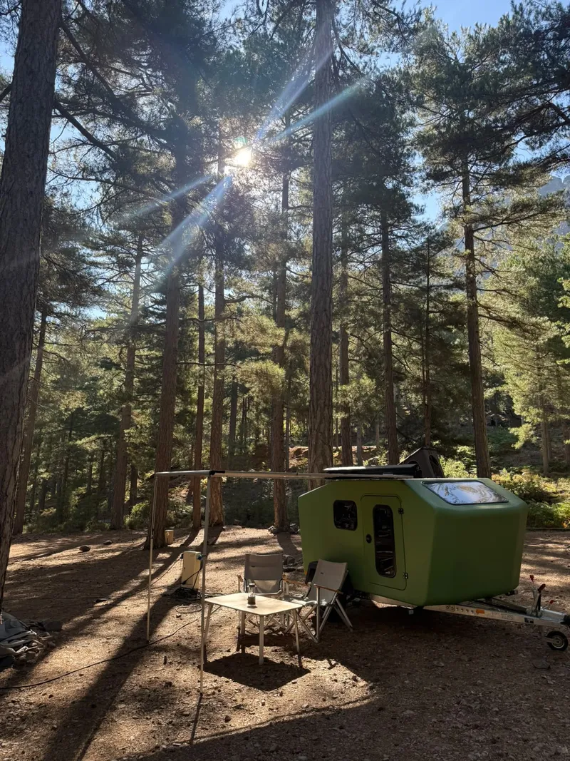
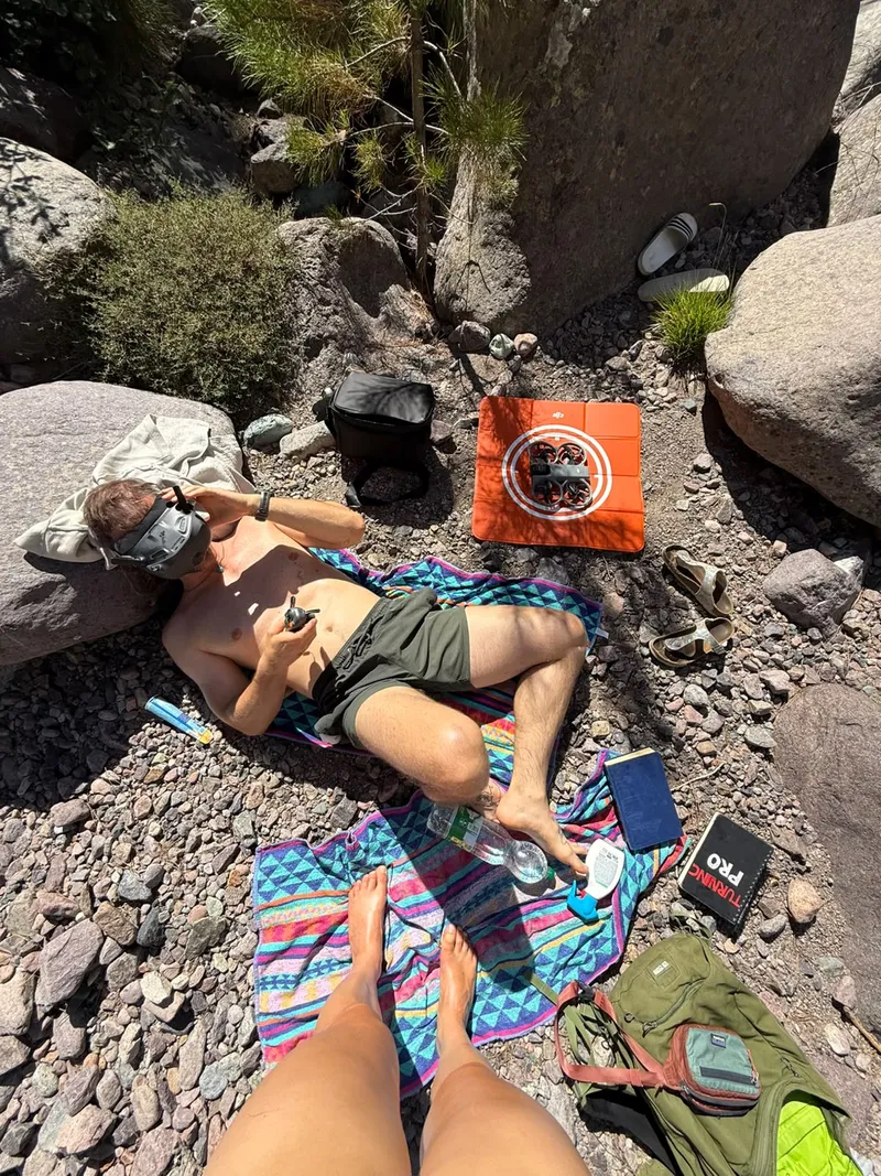
At the top, one of the most beautiful spots of the trip awaits: open pine forest, granite walls and a mountain stream. Time to fly the drone.
Down to the west coast
Monte Cinto → Casa di Luna
The counterpart to the climb: we head down to Galéria on the west coast. 143.0 Wh/km is the lowest figure of the trip. Together with the climb, that averages around 203 Wh/km. The energy that goes in on the way up is largely recovered by regenerative braking on the way down.
- Distance
- 110.9 km
- Consumption
- 143.0 Wh/km
- Energy
- 15.9 kWh
- Driving time
- 2:26 h
- On the road
- 10:30–13:41
- Charging
- at the campsite
- Elevation
- ↑ 650 m · ↓ 1,630 m
- Weather
- avg. 25 °C · max. 29 °C
The day at a glance
- Departure from Monte Cinto
- Calvi: 45-minute lunch break
- On along the coast
- Arrival at Camping Casa di Luna
110.9 km · driving 2:26 h · break 45 min
Back to the east coast
Casa di Luna → San Damiano
Via Calvi and across the island’s interior we head back to San Damiano. Lots of bends, lots of ups and downs, and we finish almost at sea level, just like the start: 180.2 Wh/km.
- Distance
- 126.5 km
- Consumption
- 180.2 Wh/km
- Energy
- 22.8 kWh
- Driving time
- 2:27 h
- On the road
- 10:00–12:57
- Charging
- 30 min in Calvi
- Elevation
- ↑ 1,070 m · ↓ 1,100 m
- Weather
- avg. 29 °C · max. 36 °C
The day at a glance
- Departure from Galéria
- Calvi: 30 minutes at a public charger, coffee
- Across the island’s interior
- Arrival in San Damiano
126.5 km · driving 2:27 h · charging 30 min
Home in one day
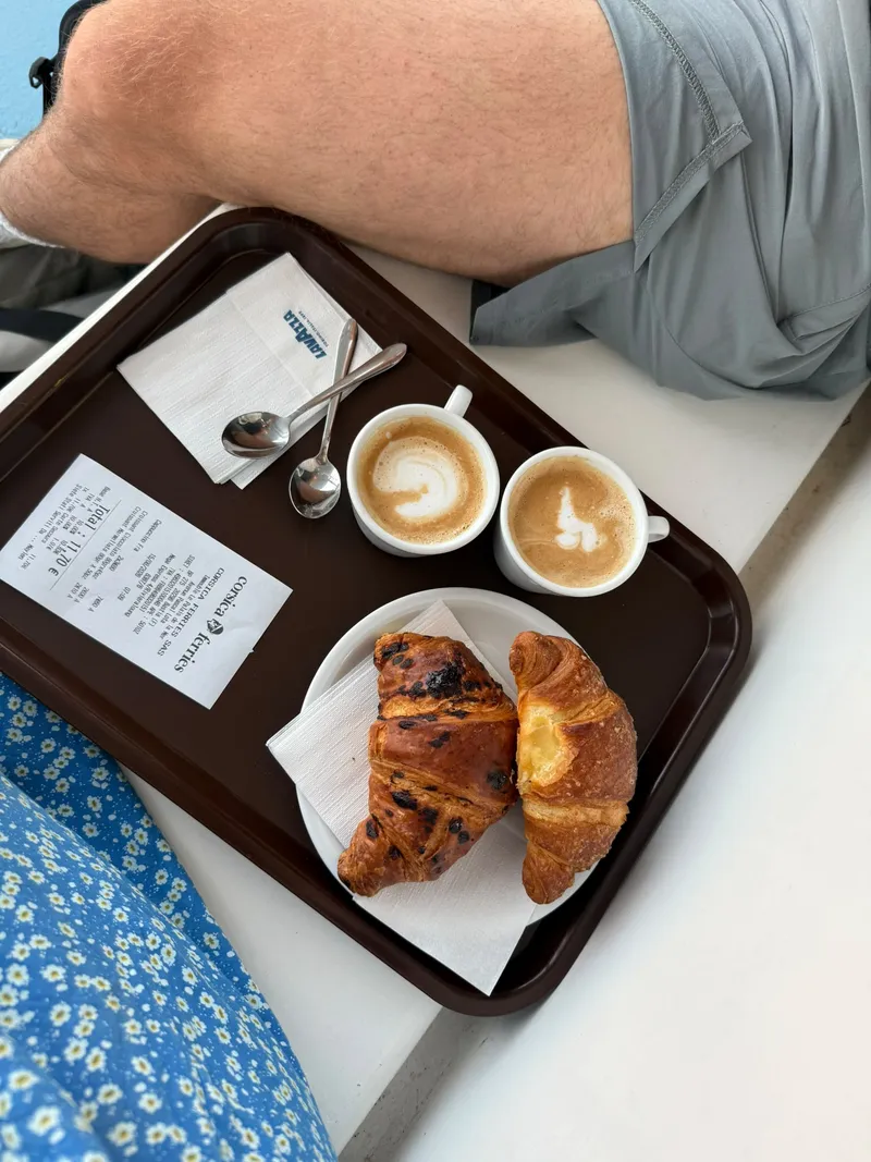
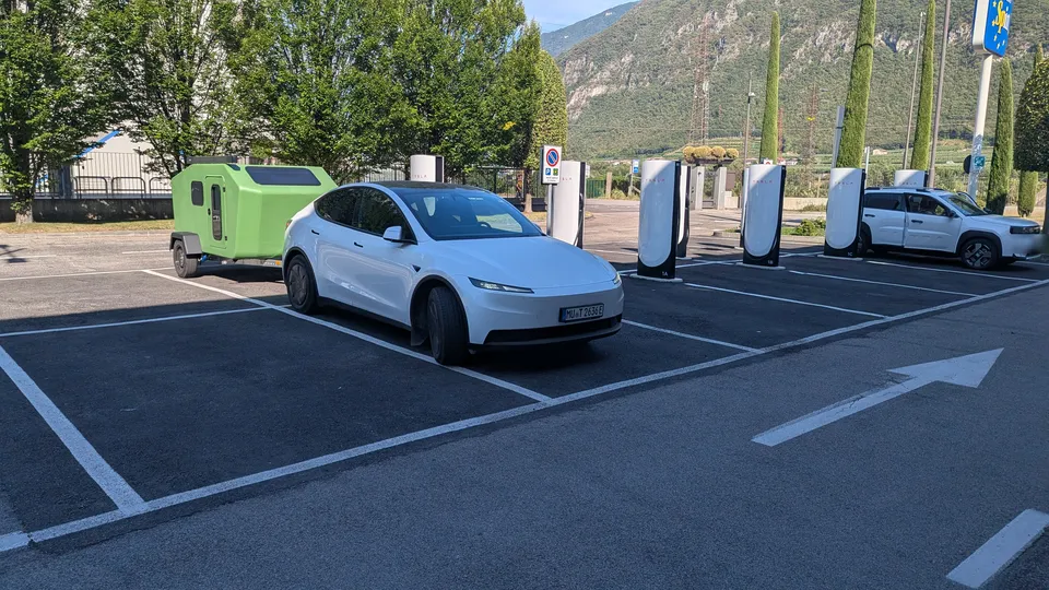
At half past six we leave the campsite. On the ferry there are cappuccinos and croissants, and after a crossing of about four hours we are in Livorno. Then we push on: around 740 kilometres to Munich, with three charging stops near Bologna, at an outlet in the Adige valley and at the Brenner Pass, 20 to 25 minutes each. Just long enough for coffee, a toilet break and stretching our legs. We are home at around half past nine in the evening.
The day at a glance
- Departure from San Damiano
- Check-in at the port of Bastia
- On board: cappuccinos and croissants
- Ferry departs
- Arrival in Livorno
- Near Bologna: 25 minutes charging
- Outlet in the Adige valley: 25 minutes charging
- Brenner: 20 minutes charging, stretching our legs
- Arrival in Munich
741.7 km · driving 8:40 h · charging 1:10 h · ferry 4 h
Livorno → Munich
The longest stage of the trip, in one go from the coast all the way home, with a good 2,500 metres of climbing up to the Brenner Pass. Even so, the display shows 204.9 Wh/km at the end: the long climb costs energy, and the descent into the Inn valley wins a fair amount back.
- Distance
- 741.7 km
- Consumption
- 204.9 Wh/km
- Energy
- 152.0 kWh
- Driving time
- 8:40 h
- On the road
- 11:45–21:35
- Charging
- 3 stops, 70 min
- Elevation
- ↑ 2,500 m · ↓ 1,950 m
- Weather
- avg. 28 °C · max. 35 °C
What we learned
- Electric mobility will win. After almost 2,000 kilometres with a trailer we are convinced of it, if only because of the cost: electricity for the whole trip cost us around 185 euros. With a diesel car and trailer it would have been closer to 450 euros. The calculation is further down.
- Driving straight through works, breaks do you good. It is most relaxed when you can drive straight in and out of chargers with the trailer attached. One, two, at most three breaks per travel day are enough: stretch your legs, have something to eat, rest a little. For us it had a genuinely slowing-down effect. Even on the last day, when all we wanted was to get home, the charging breaks were just right. If you sit in the car all day, you need them anyway.
- Charging with a trailer takes a cool head. It gets stressful when you arrive at a charger and there is no way to charge with the trailer attached. The infrastructure definitely needs to improve here. Our rule for those moments: park the rig off to the side first, walk the charging site on foot and calmly agree where the trailer goes and how we position ourselves. Instead of rolling up to a charger in holiday stress and finding there is no room. That is good for the holiday mood and for the relationship.
- 200 to 250 kilometres per charge. From 90 to 100 percent down to 10 percent, our setup realistically manages 200 to 250 kilometres. But Superchargers are not every ten kilometres; sometimes they are 30 or 40 kilometres apart. So it pays to roughly plan your stops in advance.
- Campsites charge too. Many campsites let you charge the car right at your pitch. To go easy on the wiring we limited single-phase charging to 6 amps, which is about 1 kilowatt in practice. Stay two or three days and the car is still nearly full and ready to go. It cost nothing extra at our campsites, and some even had charging stations right outside. Now and then we also charged at public stations on the island, paying by credit card. All in all, though, we only needed about one to one and a half battery charges on Corsica. This can only get better.
- The numbers hold up. Over the entire trip the trip computer shows 200.3 Wh/km, right in the middle of the 180 to 220 Wh/km range we quote on our homepage. Even mountain roads average out: up to Monte Cinto 271.5 Wh/km, down to the coast 143.0 Wh/km, around 203 Wh/km together. And the heat of up to 38 degrees barely made a difference.
What did the electricity cost us?
| Source | Energy | Price | Cost |
|---|---|---|---|
| Superchargers | ≈ 295 kWh | ≈ €0.50/kWh | ≈ €150 |
| At home (start with a full battery) | ≈ 50 kWh | ≈ €0.30/kWh | ≈ €15 |
| Corsica: campsites | ≈ 40 kWh | included | €0 |
| Corsica: public chargers, credit card | ≈ 30 kWh | ≈ €0.65/kWh | ≈ €20 |
| Electricity total | ≈ 415 kWh | ≈ €185 | |
| For comparison: diesel car and trailer | ≈ 215 l | ≈ €2.10/l | ≈ €450 |
Rough calculation: the car used 389 kWh. On Corsica we topped up about one to one and a half battery charges, the rest came from Superchargers, plus around 8 percent charging losses. Supercharger prices vary by country, site and time of day; we assume an average of €0.50/kWh. Diesel: a comparable SUV with trailer at 11 l/100 km and the Italian average price of around €2.10/l in August 2026. Tolls and ferries cost the same either way and are not included.
Consumption per stage
All stages at a glance
| Date | Stage | Distance | Consumption | Energy | Driving time | Elevation ↑/↓ | Temperature avg./max |
|---|---|---|---|---|---|---|---|
| 3 Aug | Munich → Brenner Pass | 198.0 km | 212.6 Wh/km | 42.1 kWh | 2:25 h | 1,090 / 290 m | 20 / 28 °C |
| 3 Aug | Brenner Pass → Lake Garda | 211.5 km | 190.2 Wh/km | 40.2 kWh | 2:48 h | 120 / 1,290 m | 28 / 38 °C |
| 4 Aug | Lake Garda → Barberino di Mugello | 236.6 km | 184.6 Wh/km | 43.7 kWh | 2:43 h | 640 / 560 m | 31 / 38 °C |
| 4 Aug | Barberino → Livorno | 126.2 km | 217.3 Wh/km | 27.4 kWh | 1:47 h | 150 / 420 m | 29 / 37 °C |
| 7 Aug | San Damiano → Monte Cinto | 96.6 km | 271.5 Wh/km | 26.2 kWh | 2:20 h | 1,050 / 30 m | 26 / 32 °C |
| 10 Aug | Monte Cinto → Casa di Luna | 110.9 km | 143.0 Wh/km | 15.9 kWh | 2:26 h | 650 / 1,630 m | 25 / 29 °C |
| 13 Aug | Casa di Luna → San Damiano | 126.5 km | 180.2 Wh/km | 22.8 kWh | 2:27 h | 1,070 / 1,100 m | 29 / 36 °C |
| 15 Aug | Livorno → Munich | 741.7 km | 204.9 Wh/km | 152.0 kWh | 8:40 h | 2,500 / 1,950 m | 28 / 35 °C |
| 3–15 Aug | Entire trip incl. return | 1,943 km | 200.3 Wh/km | 389.3 kWh | 28 h | – | – |
Where the figures come from
Distance, energy, consumption and driving time come from the Model Y’s trip log. Elevation profiles: Copernicus elevation model, route data © OpenStreetMap contributors. Temperatures: daily mean and maximum along the route, weather data from Open-Meteo.com. Base map: Natural Earth.
Ready for your next trip?
Secure your 2027 production slot now.